It has been several years, that our Ecological Protection Department uses Automatic Identification System (AIS), supported by ScanEx, to track and detect ships. In 2016 the Scientific Department started to analyze the data collected by the system throughout tree and a half years. Our researcher and map-maker Ivan Rybakov took part in the VII Earth From Space International Conference in Moscow, the main theme of which was satellite technologies in different spheres.
More than 200 specialists in development or promotion of satellite technologies, such as high officials, engineers, programmers and businessmen, participated in Earth From Space Conference, sponsored by ScanEx Company. During December 1 and 2 the participants exchanged their views and discussed new technologies, solutions and approaches on plenary sessions and 10 side events. Moreover, they could see experience of some of the projects already implemented and share plans for future.
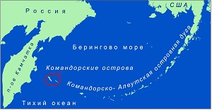
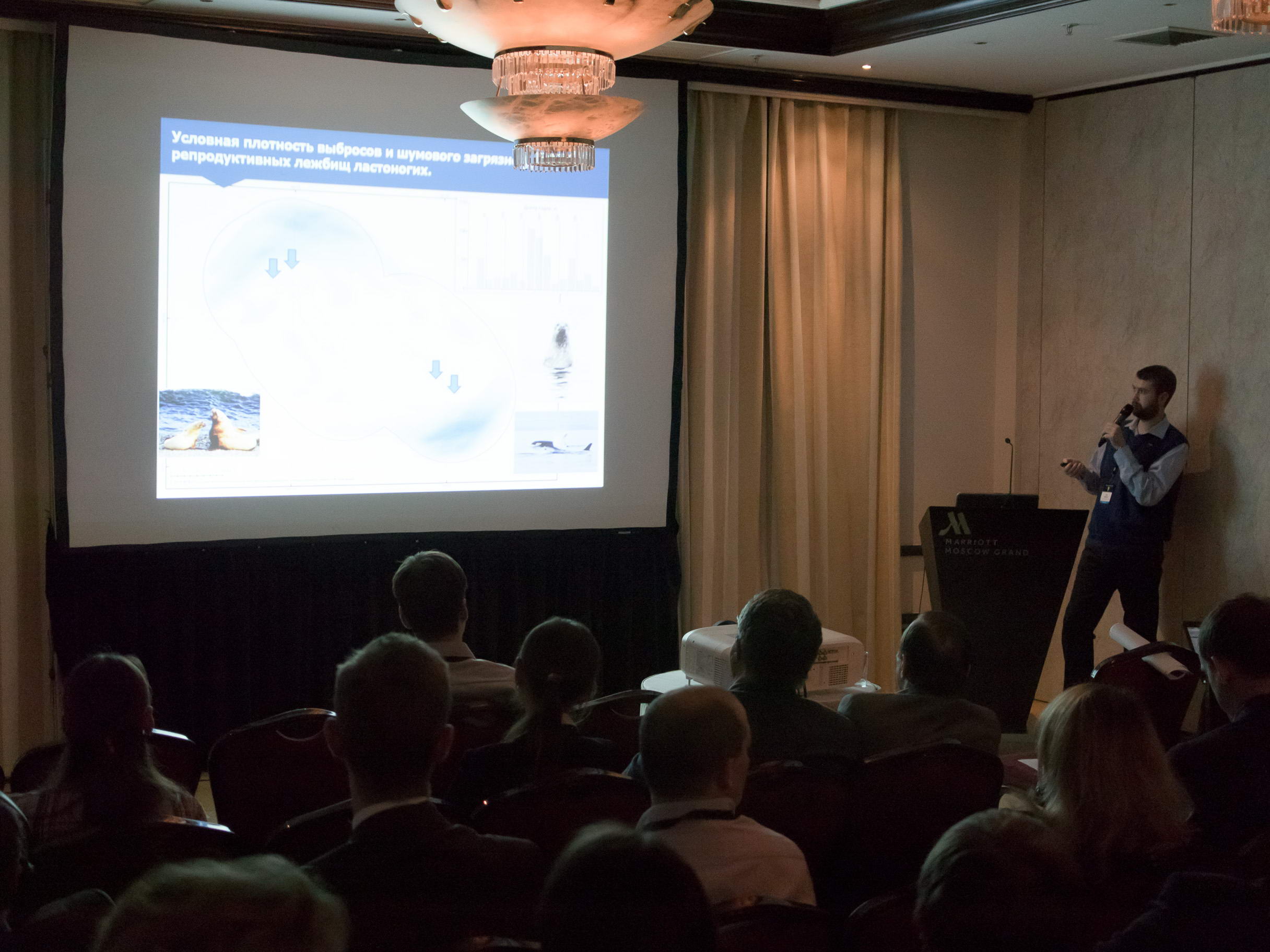
One of the side events was called Keep Up-to-Date 24/7. It was consecrated mainly to applied ecological monitoring of marine water areas. Ivan Rybakov, map-maker of the Commander Islands Reserve made a report during this side event and had a chance to show how our reserve uses AIS to track ships in the protected water area of the Commander Islands.
This data is vital for Scientific Department, which process a huge amount of information about ships and other indicators, and for Ecological Protection Department with our brave rangers, who may prevent a ship from crossing the borders of the protected area, in case of receiving data on a ship entering the water area.
The Scientific Department is interested not only in ship routs in Northern Pacific region, but also in satellite photographs of the Commander Islands and the water area. This data enables us to monitor changes in the landscape of the islands through many years, to make accurate maps of land and of the seabed.
During Earth From Space Conference Ivan Rybakov discussed the possibilities of cooperation between the Commander Islands Reserve and Sergei Stanichny, Candidate of Physical and Mathematical Sciences, Head of Remote Research Methods Department of the RAS Marine Hydrophysical Institute. We plan to have a new project to recover the map of seabed of the coastal area of the Commander Islands, using the satellite photos we have.
“Our report was received well and without critics. Graphical presentation data did interest the public. It is important, that the method we use in the Commander Islands Nature and Biosphere Reserve to detect the violators of the protected water area borders can easily be transferred to any other water area in the world. Even analysis of only archive data may point out some unexpected consistent patterns,” said researcher and map-maker of the Commander Islands Reserve Ivan Rybakov.
Our reserve is planning to continue the cooperation with ScanEx Company – one of the leaders in the Russian segment of remote monitoring data market, satellite monitoring and services, based on these technologies.


